Technology
SouthPAN Satellite Service Significantly Boosts Drone Survey Accuracy for New Zealand Forestry
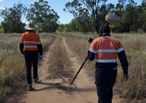
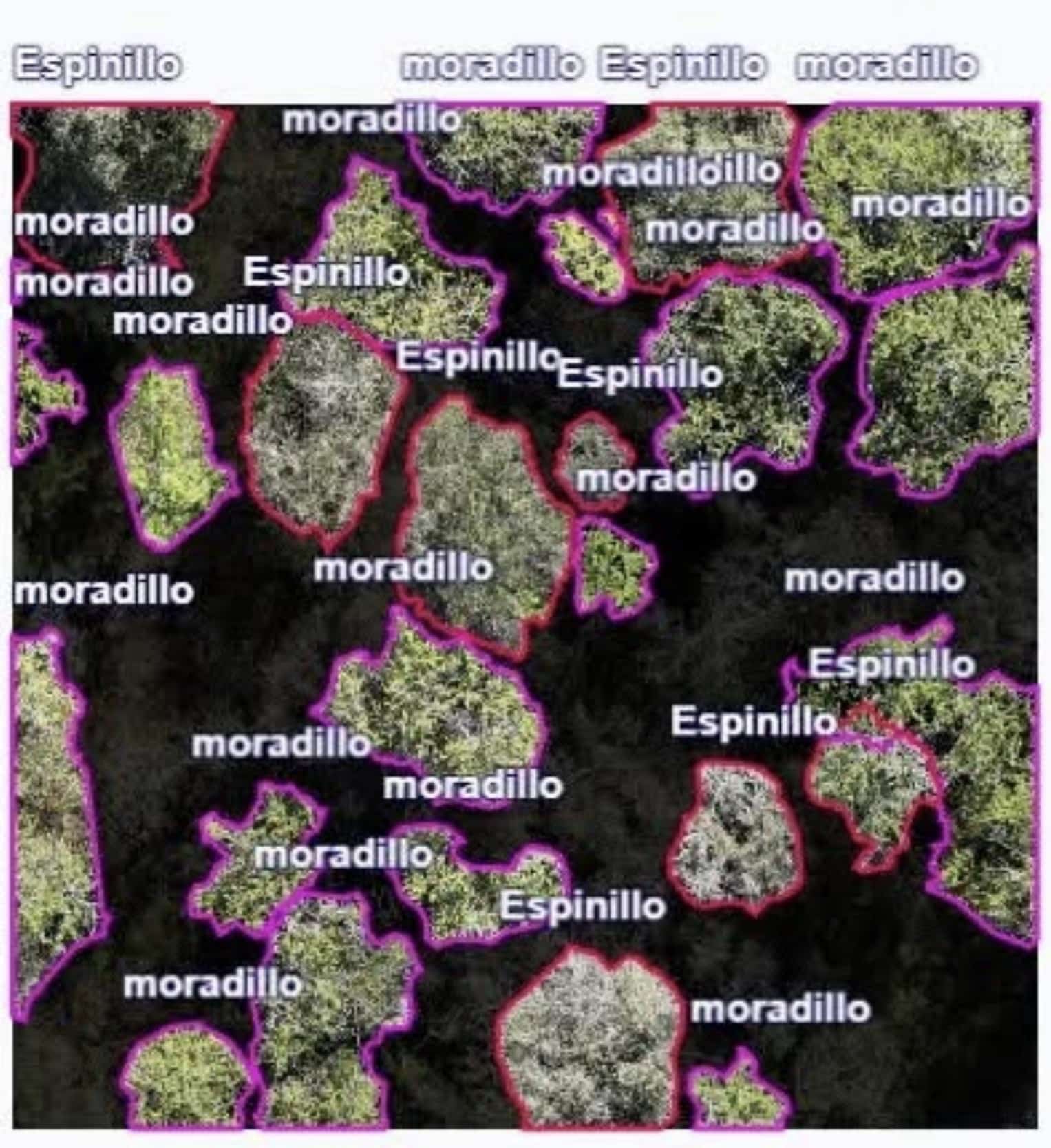
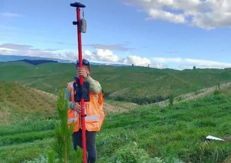
The SouthPAN satellite-based augmentation service is enabling New Zealand's Bioeconomy Science Institute to collect forestry data faster and with greater precision. By delivering real-time GNSS correction signals across the South Pacific, SouthPAN reduces positioning errors and streamlines drone-based field operations, cutting the need for ground control points and post-processing work.
測量測繪基礎設施巡檢
20 days agoSource: Spatial Source