DJI Takes on Everest: 3D Mapping the Khumbu Icefall, High-Altitude Resupply, and Waste Removal Missions
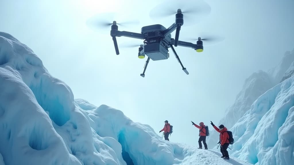
DJI has announced a multi-mission drone operation on Mount Qomolangma (Everest), deploying its Flycart 100 to deliver supplies to high-altitude camps and remove waste from the mountain. The operation also featured precision 3D terrain mapping of the treacherous Khumbu Icefall, providing the 'Icefall Doctors' with up-to-date route data to plan safer paths — marking a milestone for commercial drone operations at extreme altitude.
Highlights
- DJI deployed the Flycart 100 cargo drone on Mount Qomolangma (Everest) to deliver supplies to high-altitude camps and remove waste from the mountain.
- DJI drones conducted precision 3D terrain mapping of the Khumbu Icefall, one of the most dangerous sections on the Everest climbing route.
- The 3D mapping data is being used by the 'Icefall Doctors' — Sherpa guides who fix ropes each season — to plan safer routes through the rapidly changing icefall.
- The mission serves as a real-world performance validation of commercial drones operating under conditions of extreme altitude, low air pressure, and severe cold.
- DJI stated the operation establishes a foundation for future high-altitude drone applications including exploration, environmental cleanup, and emergency rescue.
DJI has announced a groundbreaking multi-role drone operation on the world's highest peak — Mount Qomolangma (Everest) — showcasing the capabilities of its enterprise-grade drone systems under the most extreme conditions on Earth.
An Aerial Lifeline: Resupply and Waste Removal
At the heart of the operation, DJI's Flycart 100 cargo drone performed two critical roles: delivering essential supplies to high-altitude camps and transporting waste back down the mountain. In Everest's harsh environment — characterized by severe weather, low atmospheric pressure, and complex terrain — traditional human porterage is not only physically demanding but also poses serious safety risks. The deployment of unmanned aerial systems offers an innovative and efficient alternative, reducing the burden on human carriers and minimizing exposure to danger.
3D Mapping the Khumbu Icefall to Protect the 'Icefall Doctors'
The most widely noted highlight of the mission was the precision 3D terrain mapping of the Khumbu Icefall. Widely regarded as one of the most dangerous sections of any Everest ascent, the Icefall is notorious for its constantly shifting landscape — crevasses open without warning and towering seracs (ice columns) can collapse at any time.
Each climbing season, a specialized team of Sherpa guides — known as the 'Icefall Doctors' — risks their lives to fix ropes and install ladder bridges through this hazardous zone, establishing the route for all climbers that follow. By leveraging DJI drone-generated 3D mapping data, the Icefall Doctors can now review the latest terrain conditions before setting out, plan safer lines of travel, and significantly reduce their operational risk.
Pushing the Limits: A New Chapter for High-Altitude Drone Operations
This Everest mission goes beyond a technical demonstration. It represents a real-world stress test for DJI's enterprise drones operating under conditions of extreme altitude, low air pressure, and sub-zero temperatures. The successful performance of the Flycart 100 proves that commercial unmanned systems are now capable of executing complex missions on the world's highest mountain, laying important groundwork for future applications in high-altitude exploration, environmental cleanup, and emergency rescue.
"Mapping the unknown, pushing beyond limits. We fly supplies up and waste down. By 3D mapping the Khumbu Icefall, we help the Icefall Doctors find a safer way." — DJI Official
原文來源: 查看原文
FAQ
Newsletter
Subscribe to our Low-Altitude Industry Newsletter
Daily curated news on low-altitude economy and drone industry, delivered to your inbox.
Reviewed and published by the LAETimes editorial desk ·


