DLR Tests Integration of Drones, AI, and Satellite Data for Disaster Response Coordination
Germany's DLR conducted a simulated disaster response exercise evaluating the integrated use of drones, satellite imagery, AI, and communications technology. The exercise aimed to enhance situational awareness and critical infrastructure resilience, providing a technical foundation for future emergency rescue missions across Europe and beyond.

Highlights
- DLR conducted a live disaster response field exercise integrating drones, satellite imagery, AI, and communications technology to evaluate their combined effectiveness.
- AI automatically analyzed drone and sensor data in real time, enabling rescue coordinators to identify damaged areas and plan routes faster than traditional methods.
- The exercise aimed to maintain communications and coordination capability even when critical infrastructure was compromised by a disaster.
- DLR identified performance bottlenecks across all integrated technologies during the drills, providing data to continuously optimize the combined system.
- Exercise findings are expected to serve as a technical reference for European and global disaster response frameworks, promoting broader drone use in humanitarian missions.
The German Aerospace Center (DLR, Deutsches Zentrum für Luft- und Raumfahrt) recently conducted a field exercise simulating a disaster response scenario, comprehensively evaluating the integration of drones, satellite imagery, artificial intelligence (AI), and communications technology. The exercise was designed to strengthen situational awareness at emergency response sites and improve the resilience of critical infrastructure.
Multi-Technology Integration for Disaster Scenarios
The exercise focused on how to rapidly integrate diverse technologies following a disaster to obtain first-hand, on-site information. Drones served as aerial reconnaissance platforms, capable of quickly gathering real-time imagery in disaster zones inaccessible to ground personnel. Satellite data provided a broader geospatial perspective, helping command centers gain an overall picture of the affected area.
By applying AI to automatically analyze large volumes of imagery and sensor data, rescue coordinators were able to identify damaged areas, plan rescue routes, and prioritize the allocation of limited resources in the shortest possible time. Integrated communications technology ensured that information between frontline personnel and command centers could be transmitted in real time, without interruption caused by disaster-related infrastructure damage.
Enhancing Situational Awareness and Infrastructure Resilience
The exercise had two core objectives: first, to improve situational awareness at disaster sites, enabling rescue personnel to obtain a more comprehensive and timely understanding of conditions on the ground; and second, to strengthen infrastructure resilience, examining how communications and coordination capabilities essential to rescue operations can be maintained even when critical infrastructure is compromised.
Multi-technology integration exercises of this kind carry significant implications for future responses to extreme weather events, natural disasters, and large-scale emergencies. Through live drills and data collection, DLR was able to identify performance bottlenecks for each technology under disaster conditions and continue refining its integrated solutions.
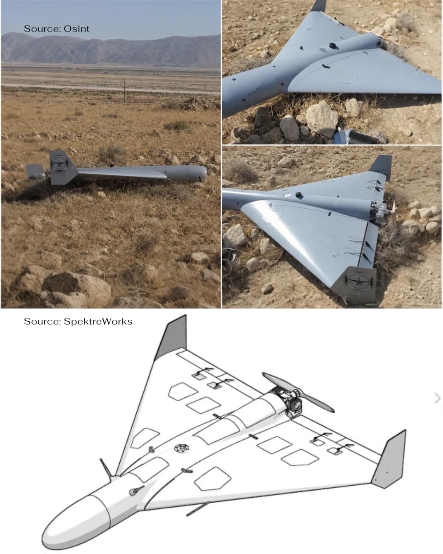
The Critical Role of Drones in Emergency Response
As drone technology matures, its applications in disaster response are receiving growing attention. Drones can be rapidly deployed to disaster sites and carry out sustained reconnaissance missions in harsh environments, significantly reducing the risk to rescue personnel who would otherwise need to enter dangerous areas. Combined with AI-powered image recognition, aerial data collected by drones can be automatically analyzed to quickly flag the locations of trapped individuals or structurally compromised areas.
The findings from DLR's evaluation are expected to serve as an important technical reference for disaster response frameworks across Europe and globally, advancing the broader adoption of drones and smart technologies in humanitarian relief missions.
原文來源: 查看原文
FAQ
Newsletter
Subscribe to our Low-Altitude Industry Newsletter
Daily curated news on low-altitude economy and drone industry, delivered to your inbox.
Reviewed and published by the LAETimes editorial desk ·