Open Cosmos Launches OpenConstellation 1.0, Ushering in Near-Real-Time Earth Observation
Open Cosmos has officially released OpenConstellation 1.0, a satellite constellation platform designed to deliver near-real-time Earth observation data to government agencies and enterprises. The system dramatically reduces the lag between satellite capture and data delivery, opening new possibilities across agriculture, infrastructure inspection, environmental monitoring, emergency response, and defense.
Highlights
- Open Cosmos officially launched OpenConstellation 1.0, a satellite constellation platform enabling near-real-time Earth observation data delivery to governments and enterprises.
- The platform significantly reduces satellite imagery delivery time from hours or days to near-instant, accelerating decision-making across multiple industries.
- OpenConstellation 1.0 uses an open architecture, lowering integration barriers for commercial partners and government agencies to incorporate satellite data into existing workflows.
- Key application sectors include agriculture, infrastructure inspection, environmental monitoring, emergency response, and defense and security.
- The launch is expected to further democratize Earth observation data, extending access to small and medium-sized enterprises and emerging-market governments previously excluded by cost or complexity.
Open Cosmos has officially unveiled OpenConstellation 1.0, its latest satellite constellation platform, marking a new era in near-real-time Earth observation data access.
The platform fundamentally transforms how government agencies and enterprises obtain satellite-derived insights. Where high-quality Earth observation imagery once required waits of hours or even days, OpenConstellation 1.0 is designed to dramatically compress the time between satellite capture and data delivery—enabling faster, more informed decision-making.
Wide-Ranging Application Potential
Near-real-time Earth observation capabilities carry significant implications across multiple sectors, including:
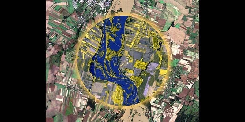
- Agricultural Monitoring: Real-time visibility into crop conditions and the impact of natural disasters on farmland
- Infrastructure Inspection: Rapid assessment of critical assets such as bridges, power transmission lines, and oil and gas pipelines
- Environmental Monitoring: Tracking deforestation, ocean pollution, and climate change indicators
- Emergency Response: Rapid post-disaster imagery to support rescue planning and coordination
- Defense and Security: Enhanced situational awareness for government agencies monitoring specific areas of interest
Open Architecture Enables Broader Partnerships
OpenConstellation 1.0 is built on an open architecture, enabling commercial partners and government bodies to more easily integrate satellite data into their existing systems and workflows—lowering the barrier to entry for space-derived data applications.
The launch not only demonstrates Open Cosmos's depth of expertise in SmallSat technology and constellation management, but also reflects the broader global Earth observation market's urgent demand for faster, more flexible data services.
As commercial Low Earth Orbit (LEO) satellite constellations continue to expand, OpenConstellation 1.0 is expected to further accelerate the democratization of Earth observation data—making satellite intelligence that was once accessible only to large organizations available to small and medium-sized enterprises and emerging-market government agencies alike.
原文來源: 查看原文
FAQ
Newsletter
Subscribe to our Low-Altitude Industry Newsletter
Daily curated news on low-altitude economy and drone industry, delivered to your inbox.
Reviewed and published by the LAETimes editorial desk ·