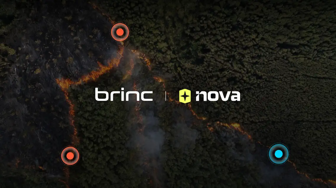
BRINC Drones and Nova Software Partner to Deliver Advanced Aerial Mapping for Public Safety Agencies
Drone manufacturer BRINC Drones and software firm Nova Software have announced a strategic partnership to provide public safety agencies with advanced aerial mapping solutions. By integrating automated mapping and hotspot detection technologies, the collaboration aims to deliver real-time aerial intelligence to first responders, helping law enforcement and emergency services improve situational awareness and response efficiency.
Highlights
- BRINC Drones and Nova Software announced a strategic partnership to deliver advanced aerial mapping solutions to public safety agencies.
- The integrated platform combines automated mapping and hotspot detection to provide real-time aerial intelligence to first responders.
- Aerial imagery and data are transmitted instantly to ground command systems, reducing decision-making time during emergency incidents.
- The solution is designed for police departments, fire services, and other public safety organizations to enhance emergency response capabilities.
Drone manufacturer BRINC Drones and software company Nova Software have announced a new partnership to provide public safety agencies with advanced aerial mapping solutions.
Partnership Overview
The core objective of the collaboration is to bring real-time aerial intelligence capabilities to frontline first responders. By integrating automated mapping and hotspot detection technologies, law enforcement units and emergency personnel will be able to gain faster, more accurate situational awareness at the scene of an incident.
Key Technical Capabilities
- Automated Aerial Mapping: Rapidly generates on-scene maps without manual intervention, giving incident commanders a comprehensive operational picture.
- Hotspot Detection: Identifies thermal anomalies in real time — a critical capability for fire scene search-and-rescue operations and personnel location.
- Real-Time Intelligence Delivery: Aerial imagery and data are transmitted instantly to ground command systems, significantly reducing decision-making time.
Target Users
The solution is designed primarily for police departments, fire services, and other public safety organizations, with the goal of strengthening emergency response capabilities and improving overall operational efficiency.
This article is based on available announcement details. Additional information will be added as the official full statement is released.
原文來源: 查看原文
FAQ
Newsletter
Subscribe to our Low-Altitude Industry Newsletter
Daily curated news on low-altitude economy and drone industry, delivered to your inbox.
Reviewed and published by the LAETimes editorial desk ·