Latest
CHC Navigation Launches AlphaAir 15 Pro Airborne LiDAR System for Large-Scale Geospatial Mapping
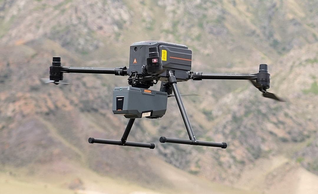
CHC Navigation has introduced the AlphaAir 15 Pro, a high-performance airborne LiDAR system designed for large-scale geospatial surveying and high-density point cloud acquisition. Key specifications include a 3,200-metre ranging distance, 2.4 million points per second measurement rate, and a 600 Hz IMU update rate, making it suitable for challenging terrain such as mountains, valleys, forests, and transportation corridors.
新品發表測量測繪
2 months agoSource: Unmanned Systems Technology