Latest
BRINC Drones and Nova Software Company Partner to Deliver Advanced Aerial Mapping Capabilities to Public Safety Agencies
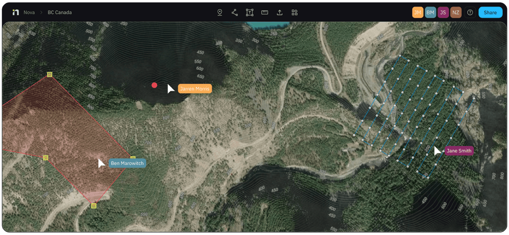
BRINC, a leading U.S. public safety drone manufacturer, and Nova Software Company, an aerial mapping and data analytics software provider, have announced a strategic partnership. The integration allows first responders to execute mapping missions via BRINC LiveOps and upload imagery to Nova for real-time hotspot detection and data analysis—no additional hardware required. Combined with the dual radiometric thermal cameras on BRINC's next-generation Guardian drone, the partnership aims to deliver the most powerful thermal mapping solution ever available to public safety agencies.
基礎設施巡檢企業合作
about 2 months agoSource: BRINC News