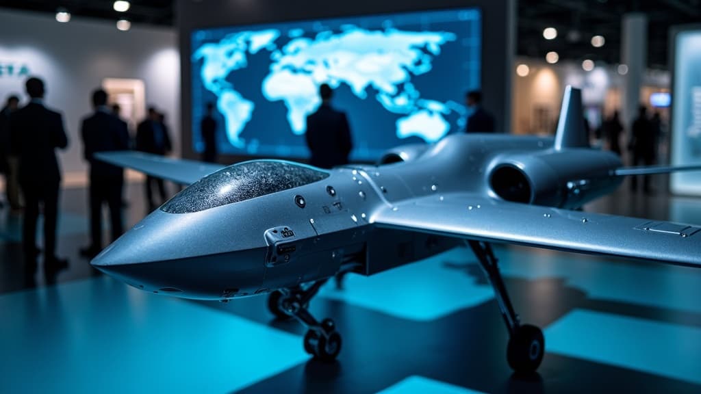
AirData UAV and LeoSight Integrate Drone Data Platforms to Strengthen Public Safety First-Response Capabilities
AirData UAV has announced a formal integration between its drone telemetry and flight data platform and LeoSight's LeoCommand software. The partnership enables public safety agencies to access real-time drone operational data, boosting situational awareness and coordination for Drone as a First Responder (DFR) missions. AirData's platform has logged over 62 million flights across more than 200 countries.

Highlights
- AirData UAV and LeoSight have formally integrated AirData's drone telemetry platform with LeoSight's LeoCommand software to support public safety and DFR operations.
- AirData's platform has recorded over 62 million flights and serves hundreds of thousands of users across more than 200 countries.
- The integration streams live drone data into LeoCommand, enabling dispatchers, commanders, and field personnel to share a single real-time operational picture.
- LeoSight CEO Mark Wood stated the goal is to transform raw data collection into shared understanding for faster, coordinated multi-agency responses.
- The partnership expands LeoSight's connected ecosystem, which already includes automatic license plate recognition and other real-time data sources for unified situational awareness.
AirData UAV and LeoSight Partner to Deliver Integrated Public Safety Drone Solution
AirData UAV has announced an integration between its drone telemetry and flight data platform and LeoSight's LeoCommand software, designed to support coordinated public safety operations and Drone as a First Responder (DFR) missions.
Real-Time Data Streaming Enhances Incident Command
Through the integration, shared customers can stream AirData's drone data directly into the LeoCommand platform, giving commanders and field personnel live visibility into aerial operations alongside other operational data streams. AirData reports that its platform has recorded more than 62 million flights, with hundreds of thousands of drone pilots and fleet operators across more than 200 countries currently using the service.
Moving from Solo Operations to Multi-Agency Coordination
The core objective of the integration is to embed drone intelligence into a broader operational picture, supporting day-to-day missions, large-scale incidents, and multi-agency joint response operations. LeoSight notes that the expanded visibility helps agencies move beyond siloed drone operations and improves information sharing across teams.
Drones and DFR programs are playing an increasingly important role in public safety—particularly in situational awareness and incident response. Both companies say that integrating drone telemetry data directly into command workflows allows dispatchers, supervisors, law enforcement personnel, and partner agencies to access the same operational picture in real time.
Executive Perspectives
Eran Steiner, CEO and Founder of AirData UAV, commented: "AirData provides drone teams with the visibility and intelligence to keep large-scale operations safe and efficient. Our integration with LeoSight brings two powerful platforms together—AirData's flight data analytics combined with LeoCommand's coordination tools. For shared customers, this means sharper situational awareness and tighter cross-team coordination, without changing how they fly."
Mark Wood, CEO of LeoSight, added: "Public safety professionals are collecting more information than ever before. The real challenge is turning that information into shared understanding—so dispatchers, law enforcement, supervisors, and partner agencies can respond as one team. The collaboration between AirData and LeoCommand gives agencies real-time visibility into drone operations. Putting that information in front of dispatchers, commanders, and field personnel means teams can communicate more effectively and coordinate faster responses when it matters most."
An Expanding Integration Ecosystem
The integration also extends LeoSight's broader connected technology ecosystem, which already includes automatic license plate recognition (ALPR) systems and other real-time data sources, all aimed at supporting a unified operational common operating picture.
原文來源: 查看原文
FAQ
Newsletter
Subscribe to our Low-Altitude Industry Newsletter
Daily curated news on low-altitude economy and drone industry, delivered to your inbox.


