軍事雷達可偵測低空無人機 專家強調設定與人力配置才是關鍵
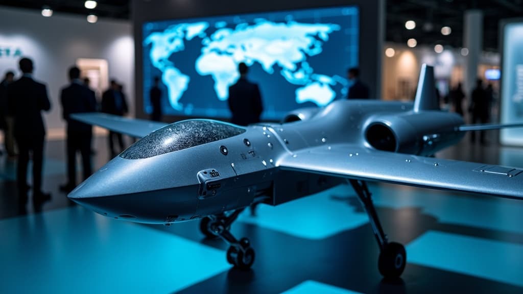
無人機社群近期討論指出,軍事雷達偵測低空飛行物體的能力取決於設定與人力配置。評論提及英國 Altitude Angel 公司曾開發全空域映射工具,卻因技術超前於市場而未獲採用。隨著無人機數量增加,全空域感知需求漸增,軍民雷達整合與 UTM 系統建立成為各國空域管理的新課題。
業界專家指出,軍事雷達若設定正確並有人員持續監看,應能偵測低空飛行物體。評論並提及 Altitude Angel 曾開發超前時代的全空域映射工具,惜時機未至而未被廣泛採用。
重點速覽
- 軍事雷達偵測低空物體的關鍵在於正確設定與充足人力配置,而非技術能力本身
- Altitude Angel 曾開發業界最佳全空域映射工具,因超越時代需求而未獲重視
- 低空空域安全問題反映技術存在但法規整合與人員部署不足的系統性困境
- 無人機數量攀升促使全空域感知技術需求浮現,軍民雷達整合成新課題
- UTM 系統全球推進中,整合現有防空資源成為空域管理的核心挑戰

文章重點
- 業界觀點指出,在正確雷達設定與人員監看條件下,軍事雷達應能偵測特定高度的飛行物體。
- 英國空域科技公司 Altitude Angel 曾擁有業界最完善的全空域映射工具,但因超前時代而未獲廣泛採用。
- 低空空域安全問題的核心挑戰在於操作設定、人力配置與系統整合,而非純粹的技術能力不足。
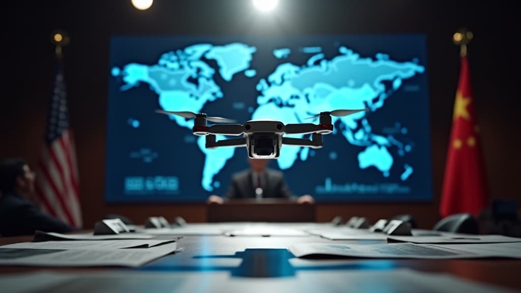
- 隨著全球無人機數量增加,UTM交通管理體系的建立與雷達資源整合成為各國政府與業界的優先課題。
低空偵測難題背後的人員與設定問題
無人機安全社群近日浮現一項重要觀點:軍事雷達對低空飛行物體的偵測能力,與其說受限於技術本身,不如說取決於操作層面的設定與人力配置。
業界評論指出,任何在特定高度飛行的物體,只要軍事雷達已調整至正確設定、且有相關人員持續監看,理論上皆應能被偵測到。這項論述隱含著一個深層的系統性問題:當前防空監測體系的漏洞,可能根源於操作規程不當或人力部署不足,而非雷達硬體能力的缺陷。
Altitude Angel 的超前之舉與市場窘境
評論中特別提及英國空域科技公司 Altitude Angel,該公司曾開發出業界最為完善的全空域映射(full-sky mapping)工具,能夠有效追蹤與管理空中飛行物體的動態。然而,這項革新性技術在當時卻未獲得應有的重視與採納。
根據評論分析,Altitude Angel 的工具之所以未能廣泛應用,主要原因在於其技術概念與商業應用遠超於當時的市場需求與監管框架發展水平。換言之,該公司推出的解決方案「生不逢時」——監管機制尚未成熟、無人機威脅感知尚未普及、現有法規體系尚無相應要求。
時至今日,隨著無人機數量持續攀升、低空空域安全議題成為各國政府與業界的共同焦點,全空域感知(full situational awareness)技術的需求才逐漸浮現。Altitude Angel 當年領先業界的視野,如今反而成為產業發展的借鏡——一項好技術若未能獲得政策與市場支撐,便難以實現其價值。
現代空域管理的三重困境
此一觀點深入剖析了當代空域安全的核心矛盾。首先,技術工具已然存在——無論是軍用雷達、民用感測設備,抑或全空域映射系統,能力本身並不是瓶頸。其次,問題在於這些技術能否被正確配置與執行,需要專業人員的持續監看與即時反應。第三,軍民兩用監測系統的協調整合仍需健全的法規框架與資訊共享機制。
隨著無人機交通管理(UTM)體系在全球各地逐步建立,各國開始著手整合現有的軍用防空雷達與民用空域監測資源。然而,如何在維護軍事安全與促進民用無人機產業發展之間取得平衡,如何設定統一的偵測標準與人員配置規範,仍是業界與政府機關必須共同面對的長期挑戰。
這一討論提醒我們:空域安全不僅是技術問題,更是管理、人力與政策的綜合體。未來無人機產業的健全發展,有賴於軍民空域管理系統的深度整合與制度化完善。
對台灣業者的意義
台灣無人機業者與政府部門應認真思考此一案例啟示。民航局推行遙控無人機管理規則與 UTM 系統時,除了技術建設外,更需關注操作人員的教育訓練與充足的監管人力配置。此外,台灣現有的軍用防空雷達系統設定是否已針對低空無人機進行優化,民間無人機服務商(巡檢、農噴、測量業者)在飛行前如何獲取最新的空域感知資訊,都涉及軍民資訊整合的制度設計。建議民航局與國防部共同評估,是否可導入類似 Altitude Angel 的全空域映射工具概念,為合法的商業無人機營運提供更透明、即時的空域環境資訊。
常見問題
Newsletter
訂閱低空產業電子報
每日精選低空經濟與無人機產業新聞,直送您的信箱。
本文由 LAETimes 編輯部審核發佈 ·