Latest
Otago Regional Council Secures NZ$529,000 in Additional Funding for Region-Wide 3D LiDAR Mapping Project
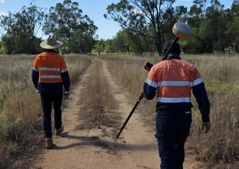
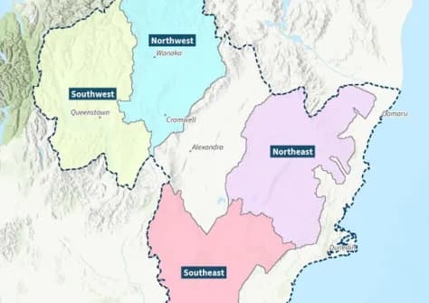
New Zealand's Otago Regional Council has approved NZ$529,000 in additional funding for its region-wide 3D LiDAR mapping programme, ensuring the project stays on track for completion in the 2027–28 financial year. The initiative will produce high-precision three-dimensional terrain data for use in environmental monitoring, flood risk assessment, land management, and regional planning across the Otago region.
測量測繪環境監測
17 days agoSource: Spatial Source