Technology
Image as Evidence: The New Standards Challenge Facing Geospatial Professionals
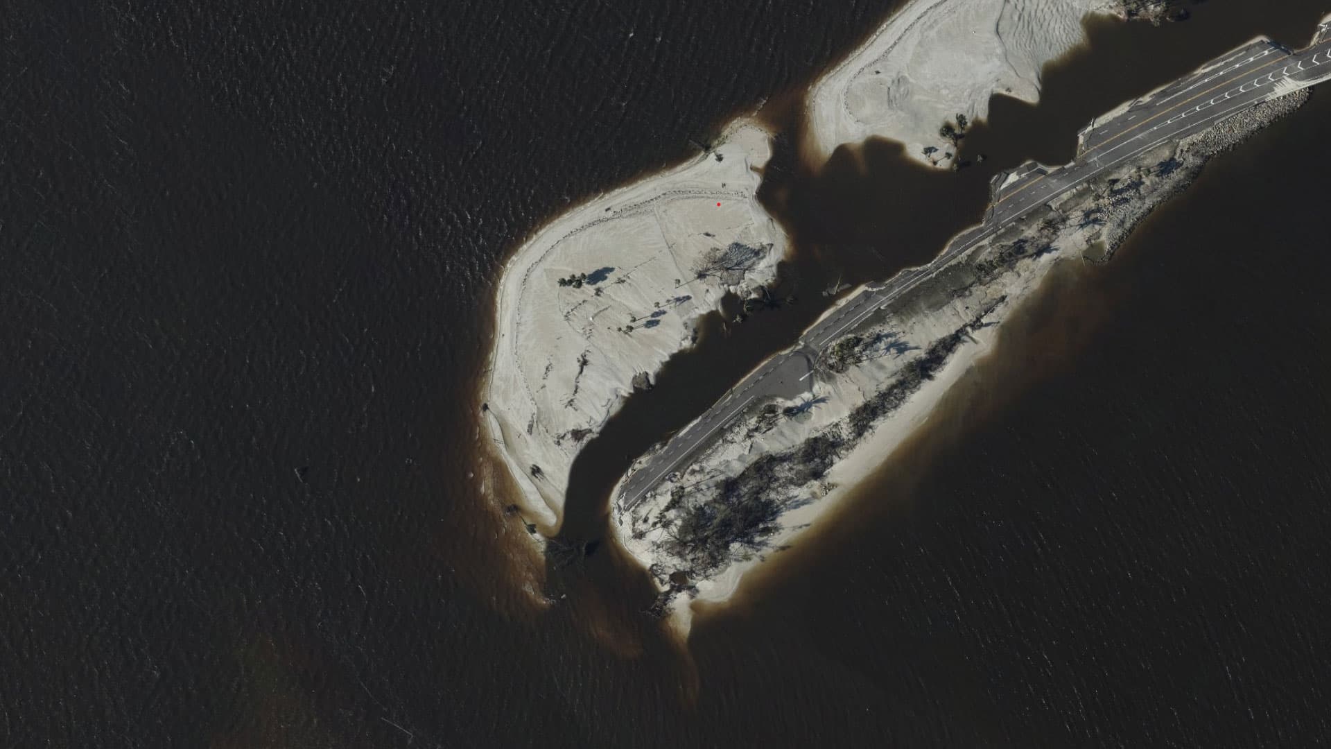
Timestamped, geotagged imagery has quietly crossed a threshold—from documentation to trusted legal evidence. Drone aerial imagery is now embedded in federal regulatory frameworks covering bridge inspections and disaster loss assessments, and is increasingly scrutinized in court. Yet generative AI makes authenticity harder to prove, and the industry urgently needs robust metadata management, chain-of-custody protocols, and C2PA content provenance standards to ensure deliverables carry genuine legal weight.
基礎設施巡檢法規政策
about 2 months agoSource: xyHt