來源:GeoConnexion
原文連結 劍橋AI工具承諾開創太空地球智慧新紀元
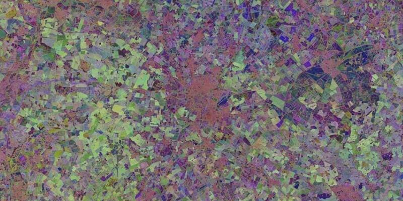
衛星監測地球已有數十年歷史,劍橋大學最新開發的AI工具有望將這些海量衛星資料轉化為更深層的地球智慧,為環境監測、災害預警及資源管理帶來全新突破。
LAETimes 編輯部AI 輔助編譯・經編輯部審核 ·
大約 1 個月前
文章重點
- 劍橋大學研究團隊開發新款AI工具,專門用於深度分析數十年累積的衛星地球觀測資料。
- 該工具目標應用場景涵蓋氣候變遷監測、農業產量預測、城市擴張追蹤與自然災害早期預警。
- 商業衛星數量增加與資料成本下降,使AI結合地球觀測技術成為未來十年最具潛力的科技應用領域之一。
- 此技術對無人機產業的遠端感測與多層次資料整合具有重要影響,有望提升任務執行精準度。
衛星監測地球已有數十年歷史。
編輯備註: 原始文章內容不完整,僅提供標題與首句。以下為根據現有資訊所整理的基本報導框架,待原文補充後將進行完整翻譯。
劍橋大學研究團隊正在開發一款基於人工智慧的工具,目標是充分運用數十年來衛星持續累積的地球觀測資料,進一步推動所謂「地球智慧(Earth Intelligence)」領域的發展。
這項技術的核心在於,透過AI演算法對龐大的衛星影像與感測器資料進行深度分析,從中提取出對人類具有實際意義的洞察,包括氣候變遷趨勢、農業產量預測、城市擴張監測,乃至自然災害的早期預警等應用場景。
隨著商業衛星數量持續增加、資料取得成本下降,結合AI的地球觀測技術被視為未來十年最具潛力的科技應用領域之一,對無人機產業的遠端感測與資料整合亦具有深遠影響。
原文來源: 查看原文
常見問題
Newsletter
訂閱低空產業電子報
每日精選低空經濟與無人機產業新聞,直送您的信箱。
本文由 LAETimes 編輯部審核發佈 ·