來源:LiDAR News
原文連結 LiDAR 光達技術邁向智慧城市:從自駕車輛到智慧基礎設施的全面應用
LiDAR 光達技術長期以來與自駕車密切相關,但其未來應用已超越車輛範疇。從交通監控、城市規劃到智慧基礎設施管理,LiDAR 正成為打造智慧城市的關鍵技術,開創更廣泛的產業應用前景。
LAETimes 編輯部AI 輔助編譯・經編輯部審核 ·
大約 2 個月前
1 / 21
文章重點
- LiDAR 光達技術正從自駕車領域擴展至智慧城市固定式基礎設施應用
- 智慧城市中 LiDAR 應用涵蓋交通管理、城市規劃、結構巡檢與安全監控
- 無人機搭載 LiDAR 可快速完成大範圍三維測繪與基礎設施巡檢任務
- LiDAR 感測器成本持續下降,推動智慧城市普及應用指日可待
- 固定式 LiDAR 可在不涉及影像隱私的前提下實現公共空間安全偵測
LiDAR 光達技術邁向智慧城市:從車輛到智慧基礎設施
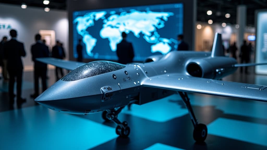
對許多人而言,LiDAR(光達)技術仍然與自駕車緊密連結:車輛掃描道路、偵測行人、自行車騎士、車道邊界及障礙物。這樣的聯想並不意外,因為自動駕駛一直是 LiDAR 技術發展中最受矚目的領域之一。
然而,LiDAR 的未來絕不僅限於車輛應用。一個更值得關注的問題是:當 LiDAR 從「移動中的車輛」轉移到「固定式智慧基礎設施」時,將帶來哪些全新的可能性?
從車載到路側:LiDAR 的角色轉變
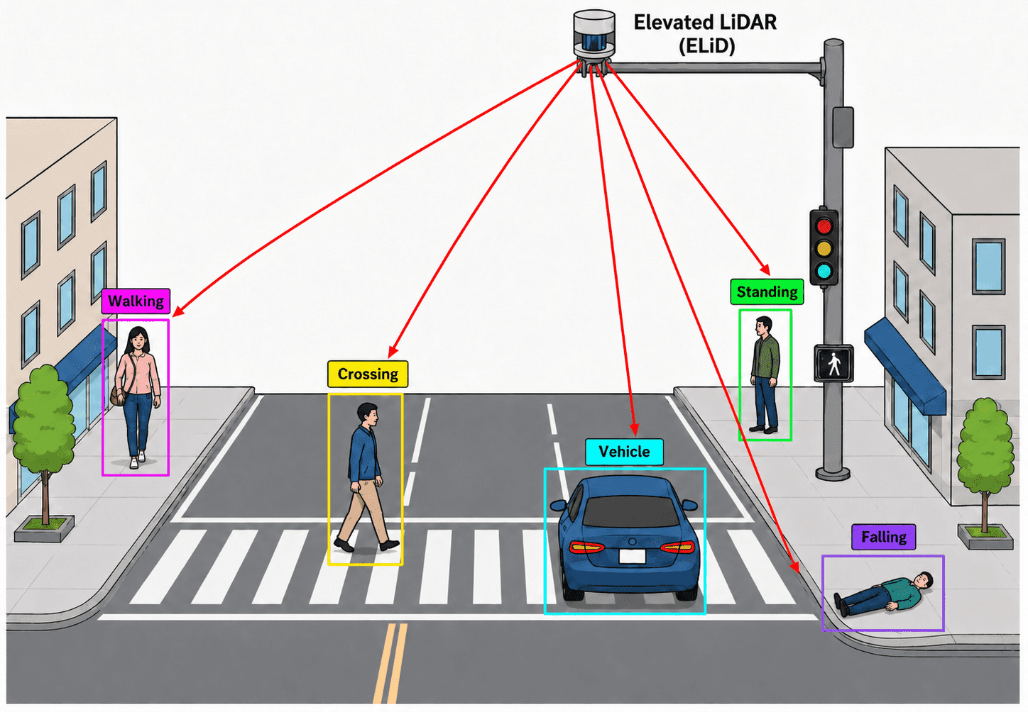
隨著智慧城市概念的推進,LiDAR 技術正從車載感測器擴展至城市基礎設施層面。安裝在路口、橋樑、建築物上的固定式 LiDAR 感測器,能夠持續監控交通流量、偵測異常事件,並為城市管理者提供即時的三維環境數據。
智慧城市的多元應用
在智慧城市的框架下,LiDAR 技術的應用場景相當廣泛:
- 交通管理:即時監測車流、行人動態,優化號誌控制與交通疏導
- 城市規劃:透過高精度三維建模,輔助都市設計與建設決策
- 基礎設施巡檢:監測橋樑、道路、建築結構的變形與損壞
- 安全監控:在不涉及隱私影像的情況下,實現公共空間的安全偵測
與無人機技術的結合
值得注意的是,搭載 LiDAR 的無人機在智慧城市應用中扮演著日益重要的角色。無人機結合光達技術,可快速完成大範圍的三維測繪、基礎設施巡檢,以及災後環境評估等任務,大幅提升城市管理的效率與精確度。
產業前景
LiDAR 技術從自駕車領域向智慧基礎設施的延伸,代表著一個更龐大的市場機會。隨著感測器成本持續下降、運算能力不斷提升,LiDAR 在智慧城市中的普及應用已指日可待,也為相關產業鏈帶來新的成長動能。
原文來源: 查看原文
常見問題
Newsletter
訂閱低空產業電子報
每日精選低空經濟與無人機產業新聞,直送您的信箱。
本文由 LAETimes 編輯部審核發佈 ·