Latest
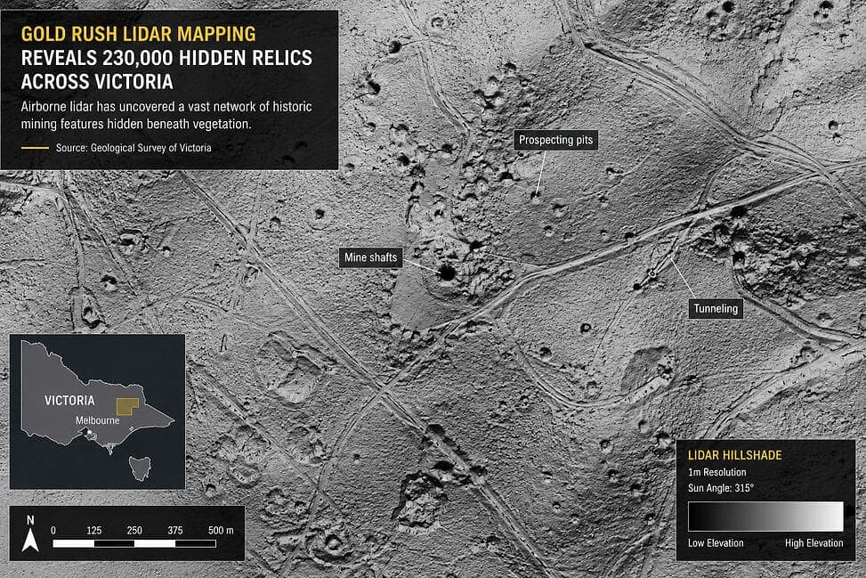
Airborne LiDAR Uncovers Over 230,000 Hidden Gold Rush Sites and Hazardous Terrain Across Victoria, Australia
The Geological Survey of Victoria has completed a four-year airborne LiDAR mapping program, revealing more than 230,000 previously unrecorded mining relics buried beneath dense vegetation. The discoveries include abandoned mine shafts, tunnels, and prospecting pits dating to the 19th-century gold rush era, significantly advancing hazard identification, historical research, and land management across the state.
測量測繪基礎設施巡檢
about 1 month agoSource: LiDAR News